
Image
Body
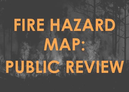
The CA Department of Forestry and Fire Protection released an updated version of the Orange County Fire Hazard Severity Zone map for the unincorporated areas. This map, which uses the latest climate data, fire history, topography, and wildfire modeling to classify areas as Very High, High, or Moderate fire hazard zones, can be viewed here.